The hill
A community hill on the north Island
Mount Cain sits on northern Vancouver Island, between Sayward and Port McNeill, and is operated by the Mount Cain Alpine Park Society. What follows is what the Society says about it — and, just as deliberately, what it does not.
- Where
- North Island
- Nearest communities
- Sayward · Port McNeill
- Operated by
- Alpine Park Society
- Ownership
- Community
- Run by
- Volunteers
- Kwakʼwala name
- Papikałan
northern Vancouver Island
the hill's two closest towns
Mount Cain Alpine Park Society
the Island's only one
a non-profit society
in 'Namgis First Nation territory
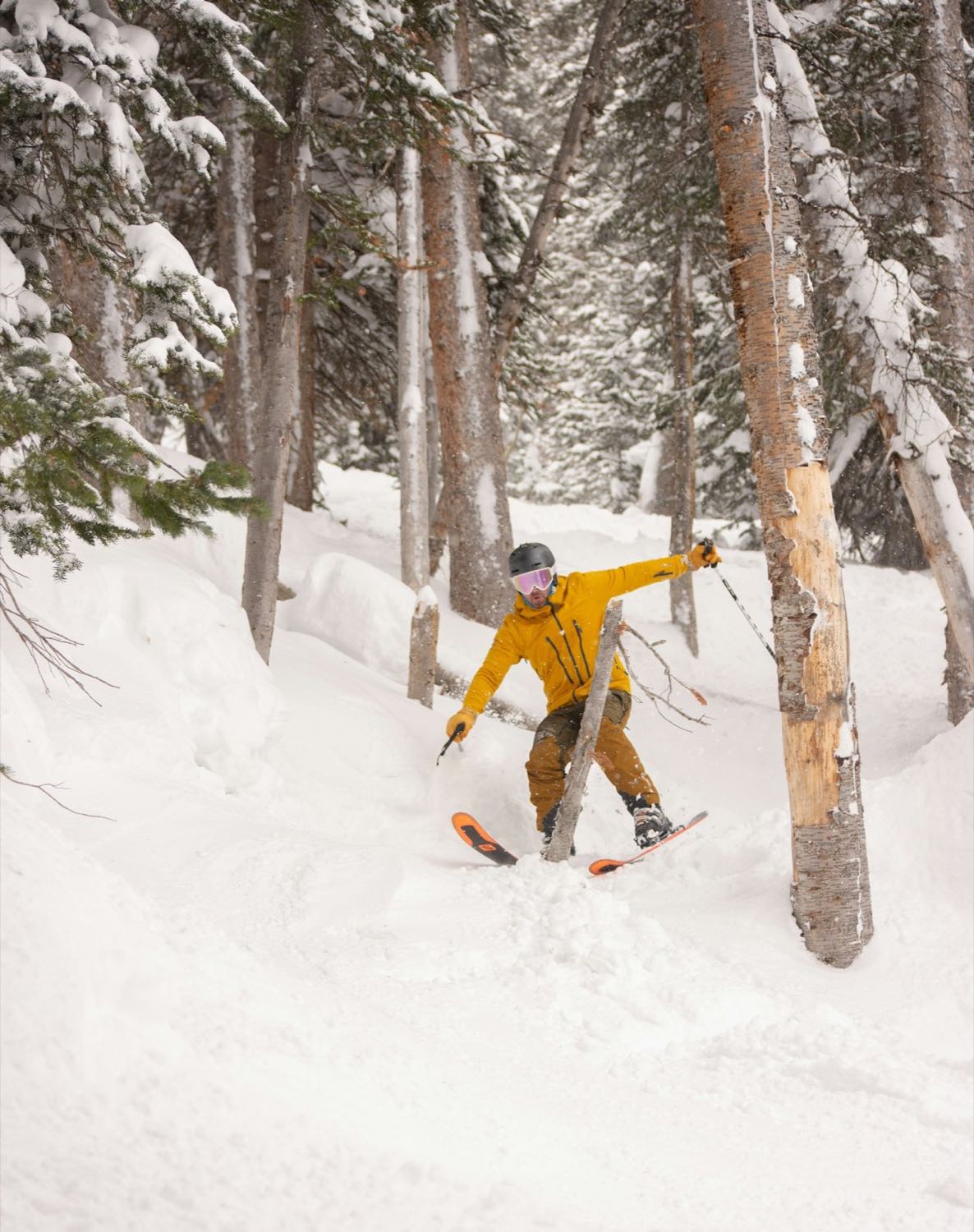 Placeholder photo
 A deliberate blank
The numbers are not ours to state
A ski-hill page usually opens with a vertical drop and a run count. Mount Cain's own site publishes neither. Third-party listings and ski directories carry figures, but those are somebody else's numbers about the Society's mountain — and a concept built for the Society has no business putting words in its mouth.
So the slots stay open. They are the easiest thing in the world for the Society to fill in, and until it does, this page says what it knows and stops there.
- Vertical
- —
- Runs
- —
- Lifts
- —
Not published by the Society. Reserved for its own figures.
Terrain
Where the trail descriptions would go
The layout is here and the difficulty markers are here. The words are not, because they are the Society's to write.
-
Easier terrain
The Society does not publish a run-by-run breakdown, so this concept reserves the slot rather than filling it. In a live build the green descriptions would be the Society's own, written by people who ski it.
-
Intermediate terrain
Same rule. A trail summary is easy to write and easy to get wrong — and a wrong one on a mountain is not a typo, it is a safety problem. The hill's words, or nothing.
-
Advanced terrain
Reserved. Third-party ski directories carry descriptions of Mount Cain's steeper terrain; none of them are the Society's, so none of them appear here.
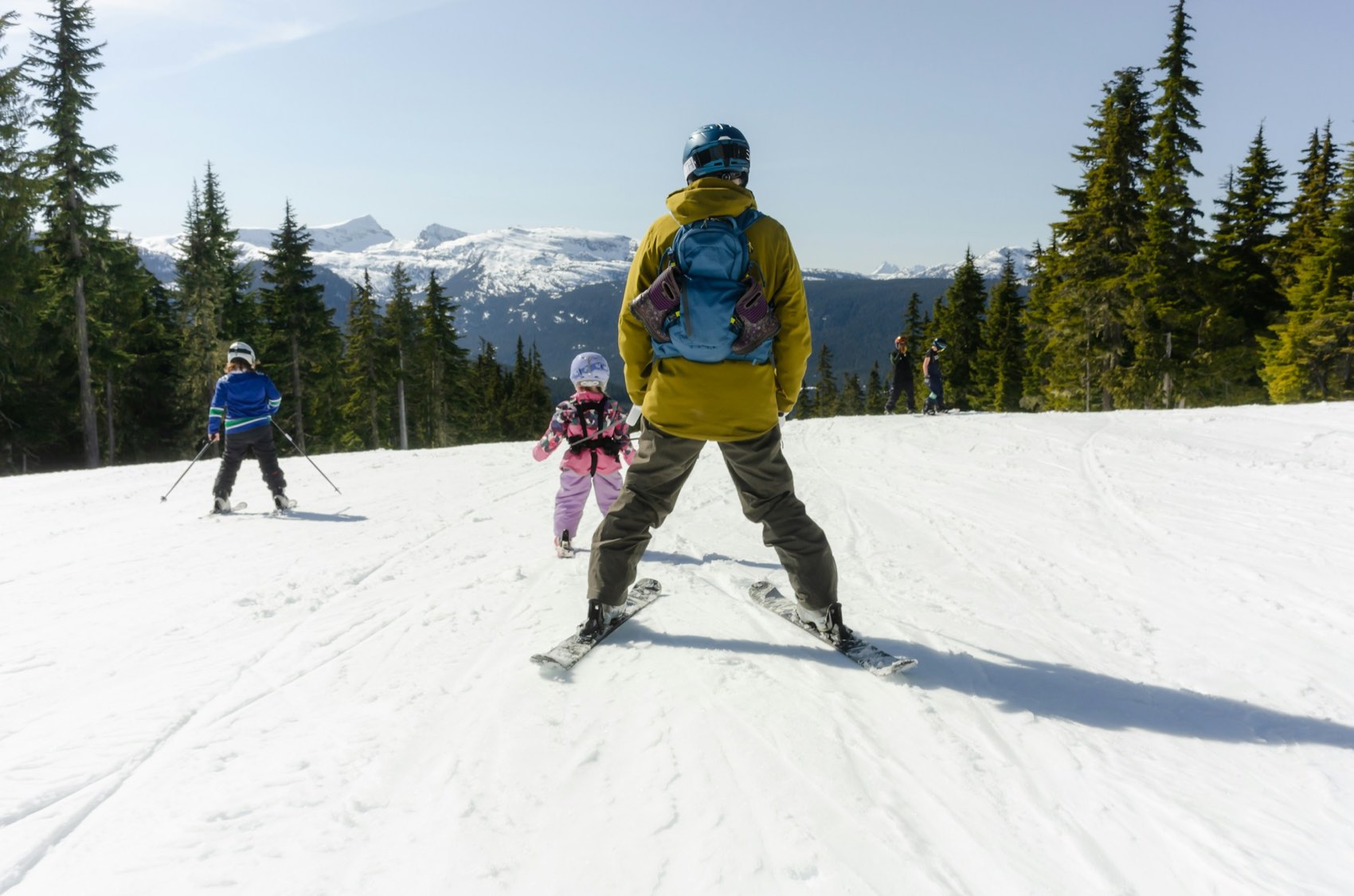 Placeholder photo
 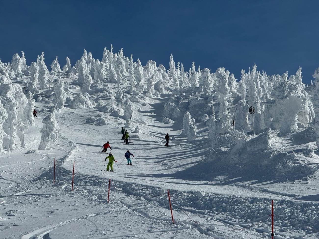 Placeholder photo
 The powder
"Vancouver Island's Best Powder"
That is the Society's own line, and it is the one claim on this whole site that needs no supporting statistic. Maritime storms come off the Pacific and pile up against the north Island, and Mount Cain is the community hill sitting in the way of them.
We have not attached a seasonal snowfall average to it. The Society does not publish one — and a hill with a reputation like this one does not need a number to sell it.
Kwak'wala name
The Society's own site gives the mountain's Kwak'wala name as Papikałan and acknowledges that it sits in 'Namgis First Nation territory.
Recorded here as a fact, not restated as an acknowledgment. Why that distinction matters →
Placeholder photo Trail map
The map lives here in the real build
A trail map belongs on this page as a zoomable, downloadable image that works on a phone in the cold. We have left it out of this concept because the artwork — like the terrain figures above it — belongs to the Society.
Getting here →